Mood: Challenging
Experience: Power
Route length: 43 km
Total ascent: 360 m
Luontoon
Komoot
Outdooractive
Ride With GPS
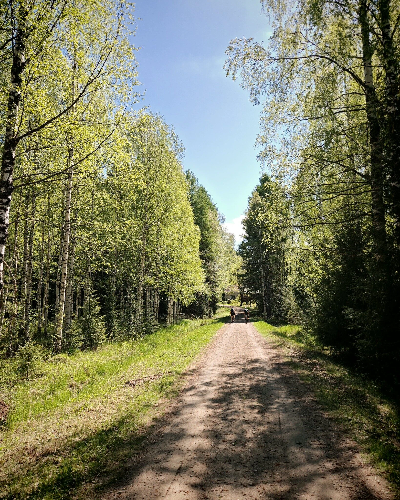
The Myhinkoski loop starts from the centre of Rautalampi and follows pedestrian and cycling paths towards Toholahthi. From the Toholahthi bridge, there are views over Lake Äijävesi. The first section follows a wider, partly asphalted road before reaching Hoikankylä and a narrower, undulating road section through fields circling Soidinmäki towards Saahkari. From Saahkari, the route continues to Hankamäki, and part of this section is also included in the Myhinpää special stage of the Finnish World Rally Championship. The route continues along a narrower road to Myhinkoski, where there may once have been a water mill. In the past, logs were floated along the rapids, but today the rapids have been restored for fishing.
After Myhinkoski, the road becomes somewhat rockier in places before reaching Konnekoskentie, which is followed almost all the way back to Rautalampi. Along the road is the Törmälä holiday and training centre, which offers accommodation and often meals as well as a summer café. Törmälä also serves as a gateway to Southern Konnevesi National Park, and it is worth making a short detour to visit Kalajanvuori.
Before arriving back in Rautalampi, you will also pass Konnekoski, where you will find, among other things, a cooking shelter and a dry toilet. Fishing is also possible in the rapids with a permit.
The route returns to Rautalampi along Hankavedenranta road, offering views across the fields towards Lake Hankavesi.